
Construction Progress Documentation
Our Construction Progress Documentation services provide businesses with a comprehensive view of their construction projects. Our aerial images and videos allow businesses to track progress, identify potential issues, update clients and other stakeholders, and make informed decisions about their projects.

OmniAerials is proud to offer Aerial Data Collection services for the Land Surveying and Construction Industries. Our advanced technology and expertise allow us to provide accurate and efficient data collection from above, resulting in valuable insights for our clients' projects. Whether it's mapping out land for development or monitoring construction progress, our Aerial Data Collection services are a game-changer for businesses in need of detailed and reliable data.
Aerial Data Collection
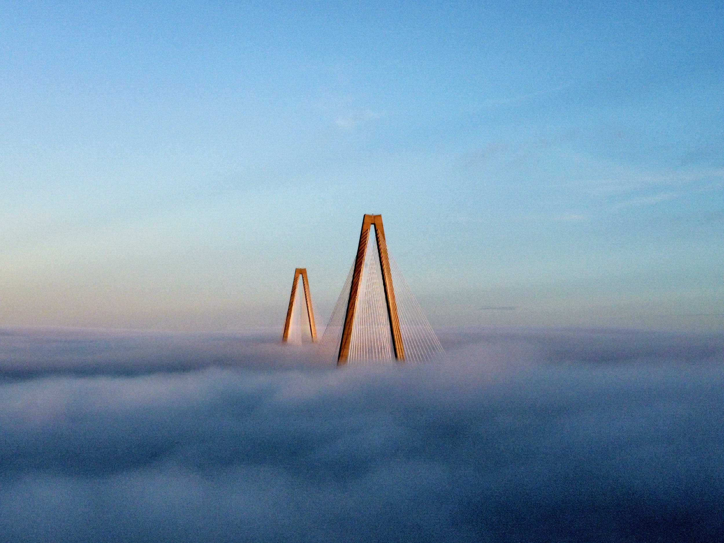
Whether for business or personal use, Aerial Photography gives a unique perspective of your business, property, project or event. Aerial Imagery also presents an expansive prospective demonstrating depth of scale for large scale projects.

The addition of Aerial Videography adds a dynamic and captivating video experience to your marketing, website or social media presence.
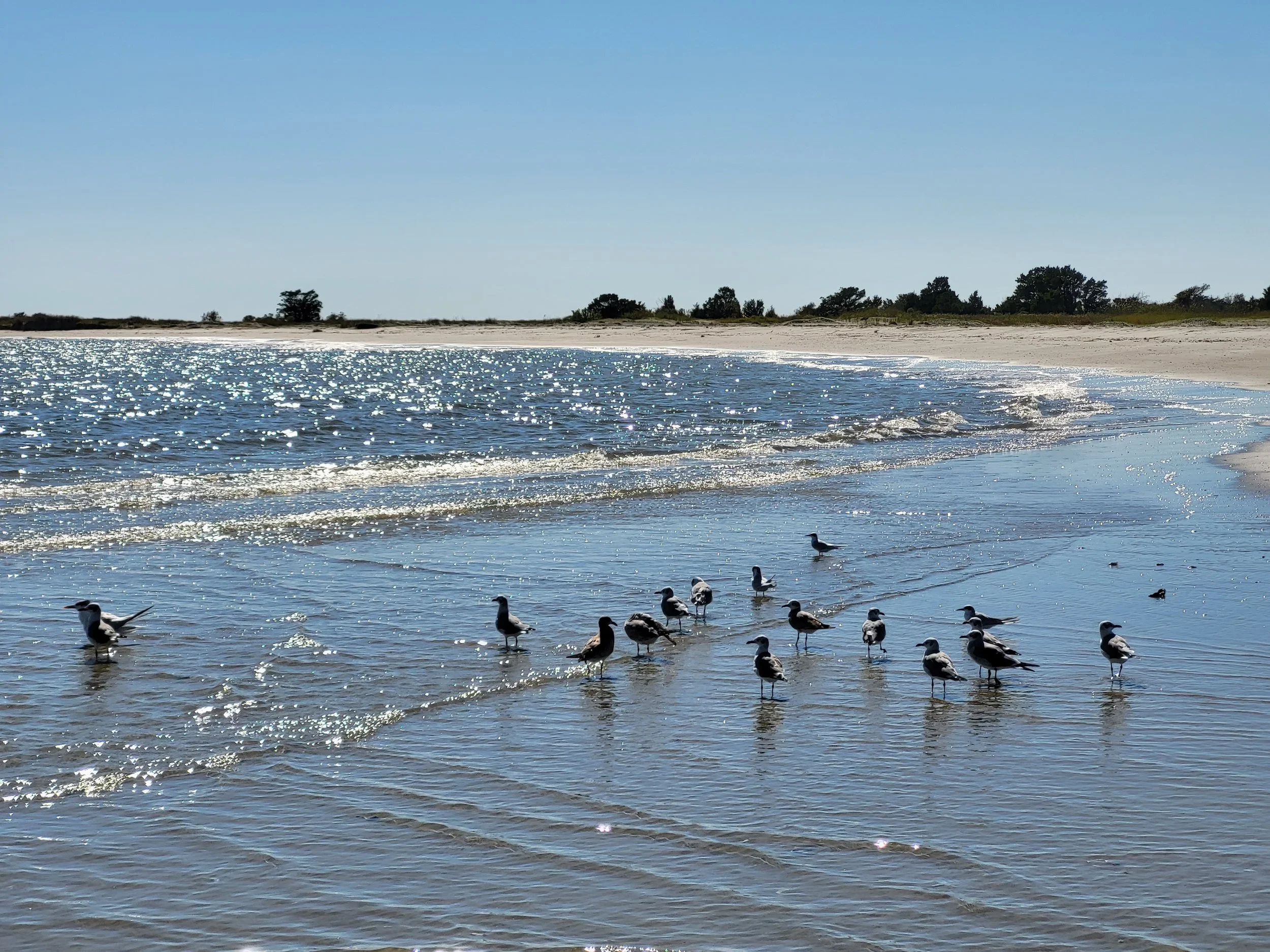

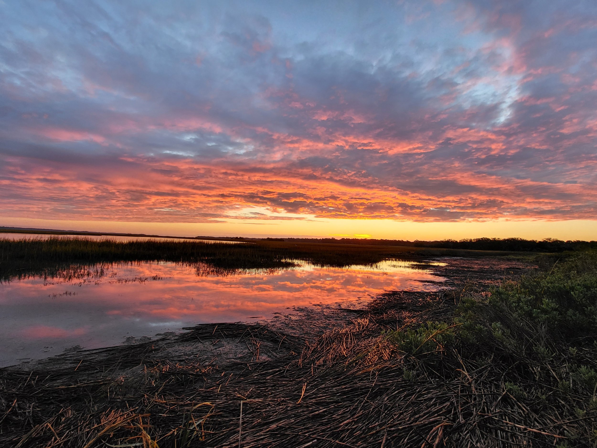
Aerial Imagery from Drones can aid in Coastal Studies and the assessment of Beach erosion rates, Track Sediment transport, Wave impact and shoreline shifts. Drone data can help access tidal inundation, sediment deposition and identify areas vulnerable to sea-level rise.

By combining drone generated 3D models with Building Information Modeling software, 3D Architectural Modeling provides a comprehesive view of a structure and is useful for Construction Project Management, Structural Inspections, Urban Planning and Preservation Management.